data sheet
| Altitude | 331 m |
|---|---|
| Inhabitants | 600 |
| coast | 0 min / 0 km |
| Airport Málaga | 0 min / 0 km |
History
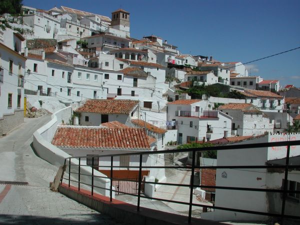
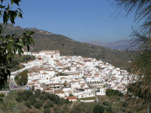
The small hill village of Cútar lies on the Route of the Vine some 6 kilometers west of Benamargosa. The name probably comes from the Arabic ¨Cautzar¨and means ¨Paradise Spring¨. Another spring in the area is known as ¨Hisn Aqut¨ meaning ¨Church Spire¨. But long before the Arabs came, the place had already been settled - the earliest remains found date from the Bronze Age.
Location
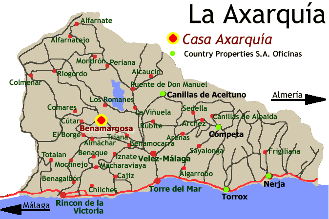
 Cútar
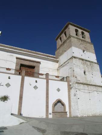
CútarThe white houses hug each other, almost as if they were falling down the hillside, clustered around the 16th Century church. The village has retained its quiet Andalucian character, being some 16 kilometers from Velez-Málaga and an hour´s drive from the airport at Málaga.
Suroundings
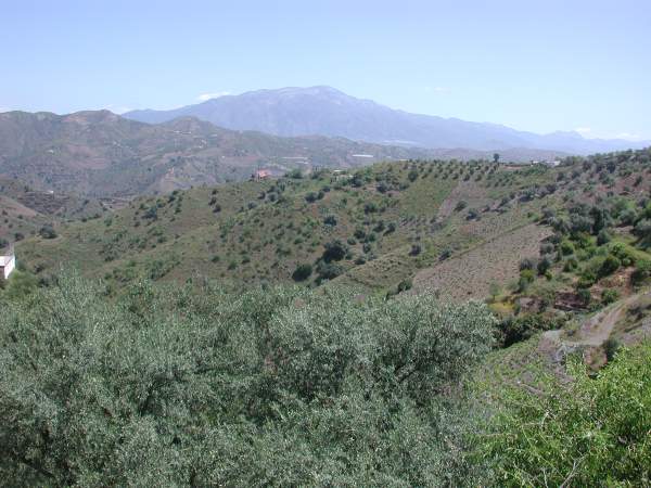
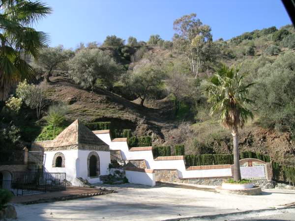
The hills surrounding the village are cloaked in olive trees and vines. The grapes are dried in the sunshine and sold as raisins. The sweet local wine is made from these raisins. Salto del Negro, La Zubia, La Molina and Loma de Leon are outlying hamlets belonging to the municipality of Cútar.
more images

Properties in Cútar
Cútar
- Traditional Spanish village house (72.000 €)
- Village house to construct (75.000 €)
- Nice house in rural setting (89.000 €)
- Village property requiring some updating (126.000 €)
- Large apartment in typical Andalusian Village (127.000 €)
- Traditional village property with an attractive garden (200.000 €)
La Molina
- House in Hamlet to restore (95.000 €)